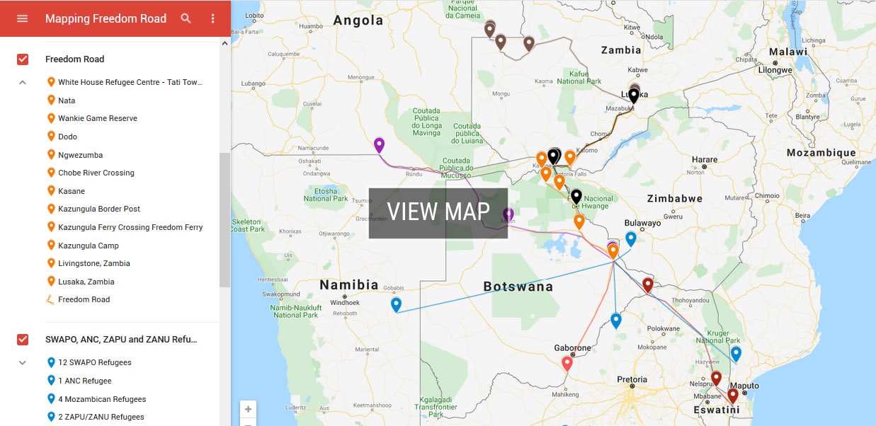
Freedom Road
The following interactive map illustrates the influx of political refugees from the Portuguese colonies, Southern Rhodesia, South-West Africa and South Africa to Bechuanaland between 1965 and 1966, and their onward journey with Peter Mackay along the Freedom Road from the White House refugee centre in Tati Township, Francistown, to the International Refugee Council of Zambia's transit centre in Lusaka.
Click the map markers to view photographs taken by Mackay on his Freedom Road travels, and read extracts from Mackay's memoir describing his journeys with the refugees.